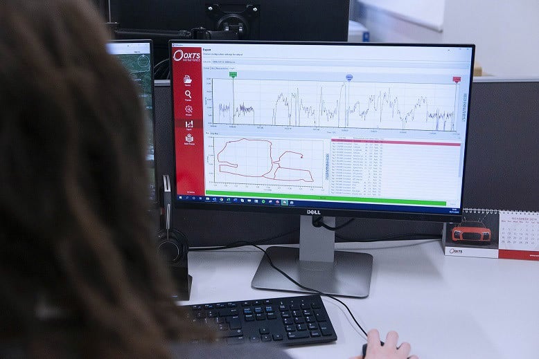
NAVsuite for Survey, Location, and Mapping.
Configure, monitor, post-process and analyze your data with ease using OxTS NAVsuite software
| NAVconfig | NAVdisplay | NAVsolve | NAVgraph |
What is NAVsuite?
What’s an Inertial Navigation System (INS) without the software to run it?
NAVsuite is OxTS’ complimentary software toolbox. It is included FREE with every purchase of an OxTS INS. (This costs thousands of dollars from other manufacturers.)
The applications available within NAVsuite give those who rely on precise positioning, like surveyors, the ability to configure, monitor, post-process and analyze the data from their OxTS INS.
The applications within NAVsuite allow surveyors to
- Configure: NAVconfig allows users to configure their INS to ensure they are getting the best possible data.
- Monitor: Using NAVdisplay, surveyors can ‘see what their OxTS INS is seeing’, and monitor their data in real-time.
- Post-process: Surveyors can use NAVsolve to post-process their survey data.
- Analyze: NAVgraph allows users of OxTS INS devices to read and interpret the data in graphical form. Ideal for troubleshooting.
(Please note that OxTS Georeferencer is not included within NAVsuite.)
Contact NavtechGPS, your U.S. distributor, for more information about the OxTS post-processing suite and the xNAV650 and other OxTS products for positioning.
