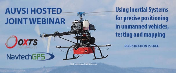
Join NavtechGPS and OxTS for a discussion on using INS for precise positioning in unmanned systems, testing and mapping.
WEBINAR, JANUARY 14, 2021, 11AM-12PM EST/ 4-5 PM GMT
Join NavtechGPS and OxTS for this AUVSI hosted webinar.
Find out how to use high precision INS with cm-level GNSS to get high end coordinates and data points.
OxTS inertial navigation systems are used throughout the world to provide autonomous navigation and precise point surveying for data collection, including LiDAR, photogrammetry, mobile mapping and more. With high precision INS combined with centimeter GNSS positioning, the OxTS system will deliver high-end coordinates, maps, test results and other invaluable data points for your projects. But how does OxTS provide this data easily for your project? Join us for the webinar and find out how.
SPEAKERS
Paris Austin, Business Manager, Survey & Mapping, OxTS
Franck Boynton, VP and CTO, NavtechGPS
